A river runs through it

It’s been raining pretty steadily for most of the day. It’s been a long time since I’ve seen it rain like this for so long.

This is what the back yard looks like

A day of rain filling up the swale in the back yard

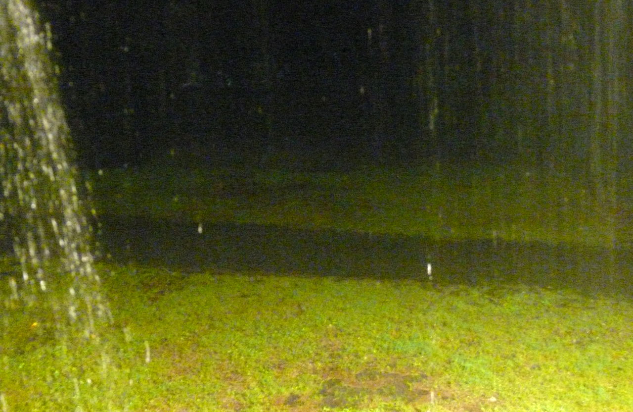
The dark strip in the middle is ankle deep water in the swale that drains into the ditch. The water in the ditch is just a few inches from the top, and probably over the top in a couple of spots.

Update: The water comes up to mid-calf now in the shallow spots. The dogs want to go swimming in their new pond.

Storm damage

Some of the tornado damage from last week’s storm. This is some of what we saw as we were heading out to the Charleston Tea Plantation.

I really need eavestroughs

I have my very own waterfall when it rains

This is what the storm looked like from my house

Gert: Lucky 7

While I was out being a tourist yesterday, Gert appeared just off the coast of Mexico just south of where Emily went ashore. More rain for northern Mexico.

Next up: Harvey.

Franklin makes 6!

Oy, looks like while I was busy grilling up dinner this evening TS Franklin sprouted out of that tropical wave that came off Africa last week. The forecast doesn’t show it getting much stronger than a tropical storm and making parts of Bermuda wet. These short curvy tracks are always worrisome though because it usually means the storm is caught up in some system that makes it’s track unpredictable.

From today’s 5PM discussion:

THE GLOBAL MODELS TAKE THE SURFACE TO 850 MB CIRCULATION NORTHWARD
AND THEN RECURVE IT NORTHEASTWARD THROUGH THE SUBTROPICAL RIDGE. HOWEVER…ALL OF THE MODELS GENERALLY AGREE THAT THE MID-LEVEL/500 MB CIRCULATION WILL MOVE INTO THE RIDGE AXIS AND STALL IN ABOUT 48 HOURS AS A SHORTWAVE TROUGH MOVES NORTHEAST OF THE DEPRESSION AND ALLOWS THE RIDGE TO BUILD BACK IN TO THE WEST. AFTER THAT…SOME OF THE MODELS MEANDER THE SYSTEM SLOWLY EAST OR SOUTHWARD…WHILE THE GFS AND GFDL MODELS TAKE THE MID-LEVEL CIRCULATION SOUTHWESTWARD TOWARD FLORIDA. THE MEDIUM AND DEEP BAM MODELS ACTUALLY TAKE THE DEPRESSION SLOWLY WESTWARD AFTER 48 HOURS ACROSS CENTRAL FLORIDA. GIVEN THE LARGE SPREAD IN THE MODEL GUIDANCE…WHICH TYPICALLY SUGGESTS SLOW MOTION…THE FORECAST TRACK SHOWS A GRADUAL TURN TO THE NORTH AFTER 24 HOURS AND THEN TURNS THE CYCLONE SLOWLY EASTWARD AND MAKING A SMALL CLOCKWISE LOOP WELL EAST OF THE CENTRAL FLORIDA COAST.